|
| *****SWAAG_ID***** | 678 |
| Date Entered | 14/01/2013 |
| Updated on | 14/01/2013 |
| Recorded by | Tim Laurie |
| Category | Mining Related |
| Record Type | Archaeology |
| Site Access | Public Access Land |
| Record Date | 12/01/2013 |
| Location | Muker Common. Below the Providence Lead Mine. |
| Civil Parish | Muker |
| Brit. National Grid | SD 88632 96811 |
| Altitude | 425M |
| Geology | Underset Limestone. |
| Record Name | Ruined limekiln in pasture below The Providence Lead Mine. |
| Record Description | Shallow diggings indicate that limestone for this kiln may have been dug from immediately above the kiln, however it is also possible that limestone from the spoil heaps of the Providence Mine saome 300m above the kiln was used. |
| Dimensions | See photos |
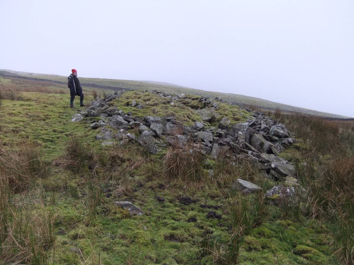
| Image 1 ID | 3967 Click image to enlarge |
| Image 1 Description | Ruined lime kiln in pasture below Providence Mine. |  |
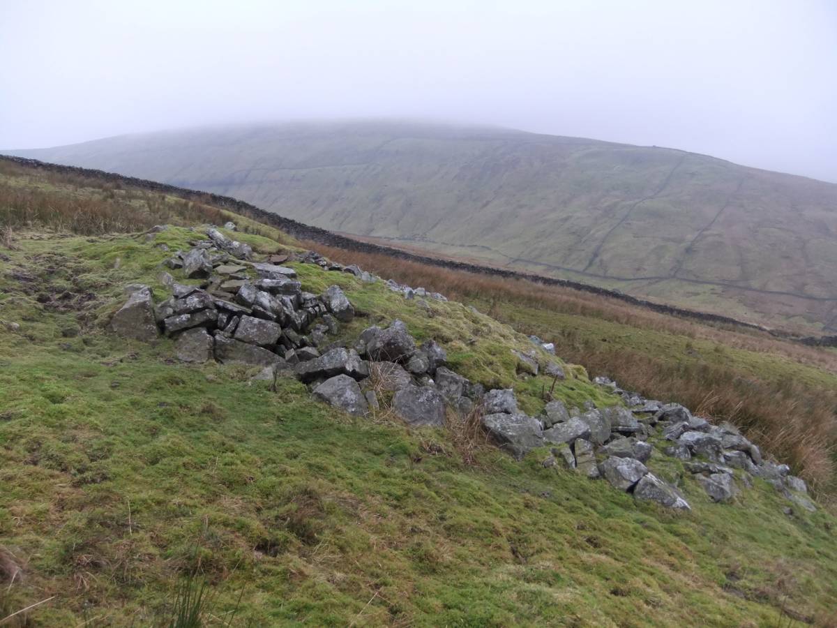
| Image 2 ID | 3968 Click image to enlarge |
| Image 2 Description | Ruined lime kiln in pasture below Providence Mine. | 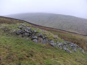 |
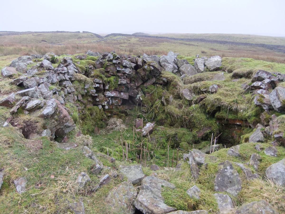
| Image 3 ID | 3969 Click image to enlarge |
| Image 3 Description | Detail of upper part and interior of the kiln. | 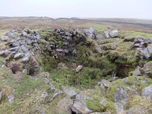 |
| Image 4 ID | 3970 Click image to enlarge |
| Image 4 Description | Small stone structure and adjacent entrance through field wall for track to kiln from the Providence Mine perhaps. | 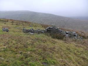 |